Venkatesh Serenique Map
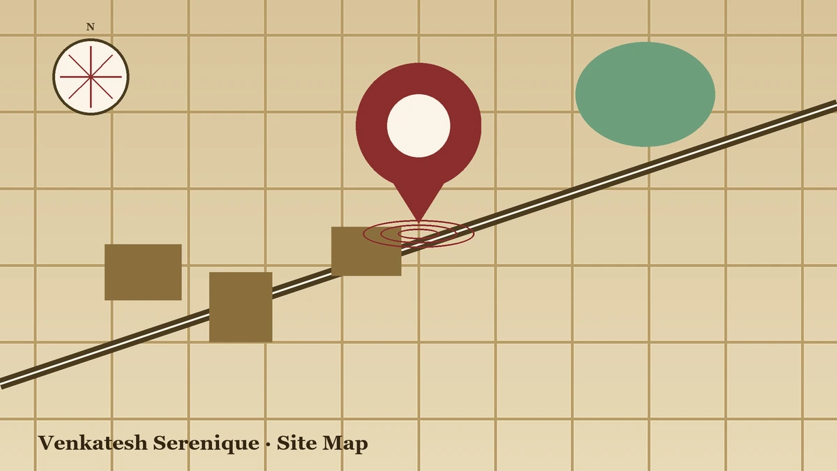
Venkatesh Serenique Map gives homebuyers and real estate investors an accurate layout of the project location in Bavdhan, West Pune. Located off the Mumbai–Bangalore Highway (NH-48) near Chandani Chowk, this master map details internal roads, tower positioning, and access points. It acts as a clear spatial blueprint, helping you evaluate commute times, road links, and overall neighborhood infrastructure before making a buying decision.
Understanding the Venkatesh Serenique Map Layout
Checking the project map helps you understand how the residential community connects to the surrounding city. Situated in Bavdhan Khurd, the map highlights direct access routes to central business districts and key highways.
1. Key Access Routes
- NH-48 (Mumbai–Bangalore Bypass): Provides smooth entry and exit points for rapid intercity travel.
- Paud Road Connection: Connects the project to Kothrud and central Pune.
- Mulshi Road: Connects the residential area to nearby nature spots and scenic weekend destinations.
How the Map Helps Homebuyers Make Smart Decisions
A project map is a vital decision-making tool during site visits and property evaluations. Understanding the layout gives buyers several practical advantages:
- Evaluates Actual Daily Commute: Viewing the map helps buyers calculate exact driving distances to key workplace hubs like Hinjewadi IT Park and Pashan IT Hub.
- Assesses Internal Privacy & Noise Levels: The master plan reveals tower placements, ensuring you can choose units situated away from main roads or high-traffic driveway zones.
- Verifies Sunlight and Ventilation: Map orientation allows buyers to check sun movement across towers, ensuring optimal natural light and airflow throughout the year.
- Confirms Neighborhood Infrastructure: The surrounding location map ensures essential services—such as hospitals, schools, supermarkets, and metro stops—are within a short radius.
- Aids Long-Term Investment Potential: A map highlighting proximity to major highways (NH-48) and metro corridors helps investors gauge future property appreciation rates.
Exact Geolocation Details (Google Coordinates, Plus Code & Admin Details)
For homebuyers and navigation ease, exact geographical data ensures hassle-free location sharing, site visits, and legal validation.
| Location Parameter | Official Geographical Details |
|---|---|
| Complete Address | Survey No. 34, Hissa No. 34/1/1/1, Mulshi Road, Bavdhan Khurd, Pune - 411021 |
| District | Pune |
| Taluk / Tehsil | Mulshi |
| State & Pin Code | Maharashtra – 411021 |
| Google Coordinates | Latitude: 18.50° N, Longitude: 73.77° E |
| Google Plus Code | GQ2F+XJR Pune, Maharashtra |
Master Plan & Internal Infrastructure
The internal site map of Venkatesh Serenique focuses on safety, green open spaces, and easy vehicle movement.
| Map Feature | Design Details | Advantage for Residents |
|---|---|---|
| Tower Alignment | 11 Residential Towers (up to 27 floors) | Ensures privacy and natural light |
| Parking Setup | 3 Basement levels + Ground + Podium | Keeps ground level vehicle-free and quiet |
| Amenity Zones | Sports, Recreation, and Leisure zones | Dedicated zones for sports, kids, and relaxation |
| Internal Roads | Wide dual-lane access roads | Smooth vehicle movement inside the complex |
Neighborhood Connectivity & Landmarks
The neighborhood map around Bavdhan shows quick access to essential daily services:
- IT & Business Parks: Hinjewadi IT Park (Phases 1 & 2) is ~8 to 12 km away via NH-48.
- Public Transport: Vanaz Metro Station (Aqua Line) sits just 4.2 km from the location.
- Schools & Colleges: Nearby options include Ryan International School and Suryadatta College.
- Hospitals: Healthcare options like Chellaram Hospital and Sahyadri Hospital are nearby.